
#33 of my 2021 52 Hike Challenge
Trail/Park: Western Terminus to North Blanding Road, Ice Age Trail
This hike took place on the traditional territory of the Očhéthi Šakówiŋ and Anishinabewaki ᐊᓂᔑᓈᐯᐗᑭ. I respect the histories, languages and cultures of these peoples, whose presence continues to enrich our vibrant and changing communities. To learn more about the tribes and these lands, please follow the links provided.
Trash Collected: 0.9 pounds

A beautiful afternoon in October 2021 lead me toward the first section of the Ice Age Trail (IAT) I’ve hiked. The day had brought crisp fall weather filled with sunshine to greet me as I arrived at the Western Terminus of the Ice Age Trail. Over the past two years, I’d been trying to figure out if I’m going to hike the trail more seriously or not. I decided it was time to find out if it’s the right trail for me.


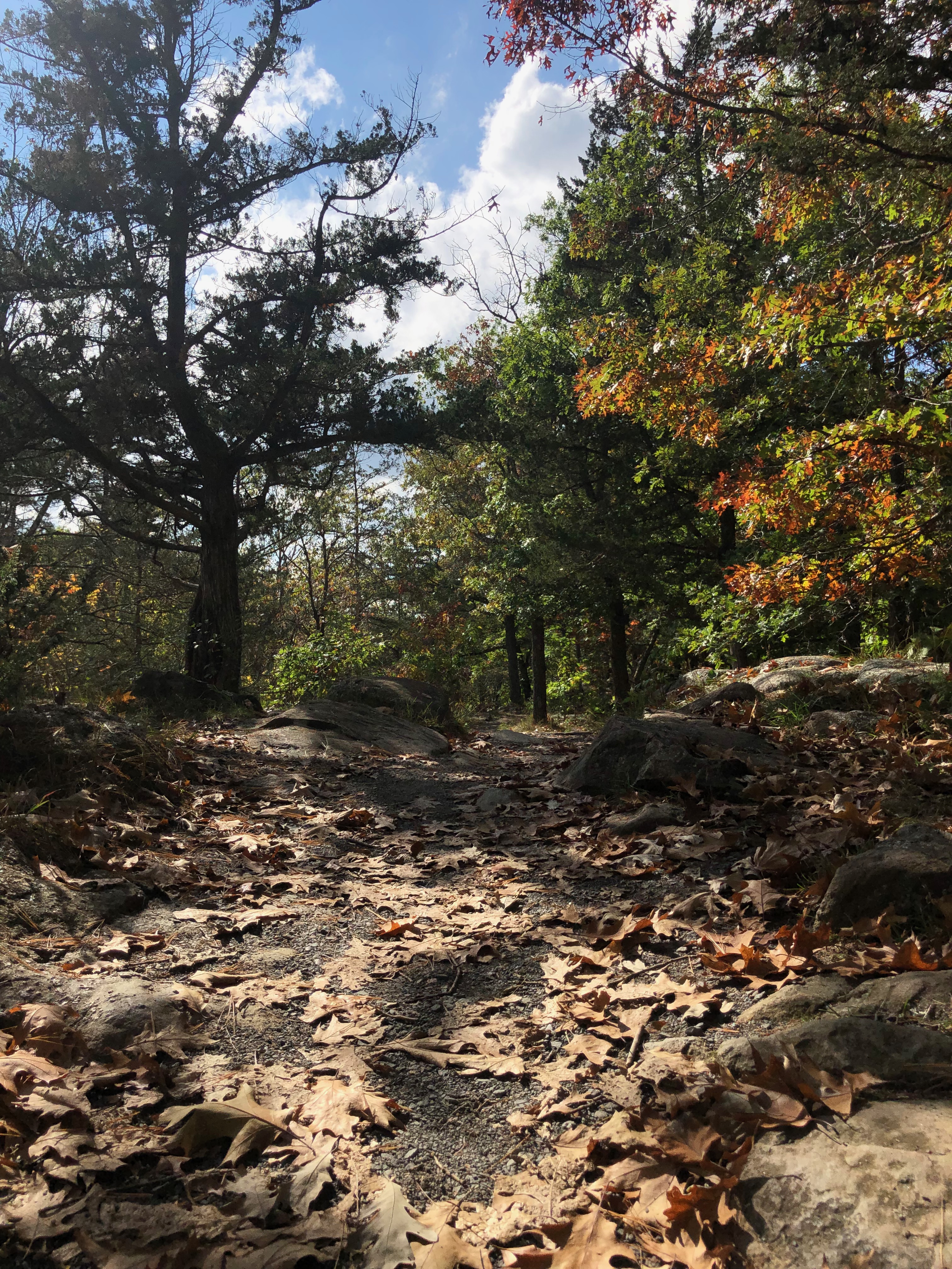
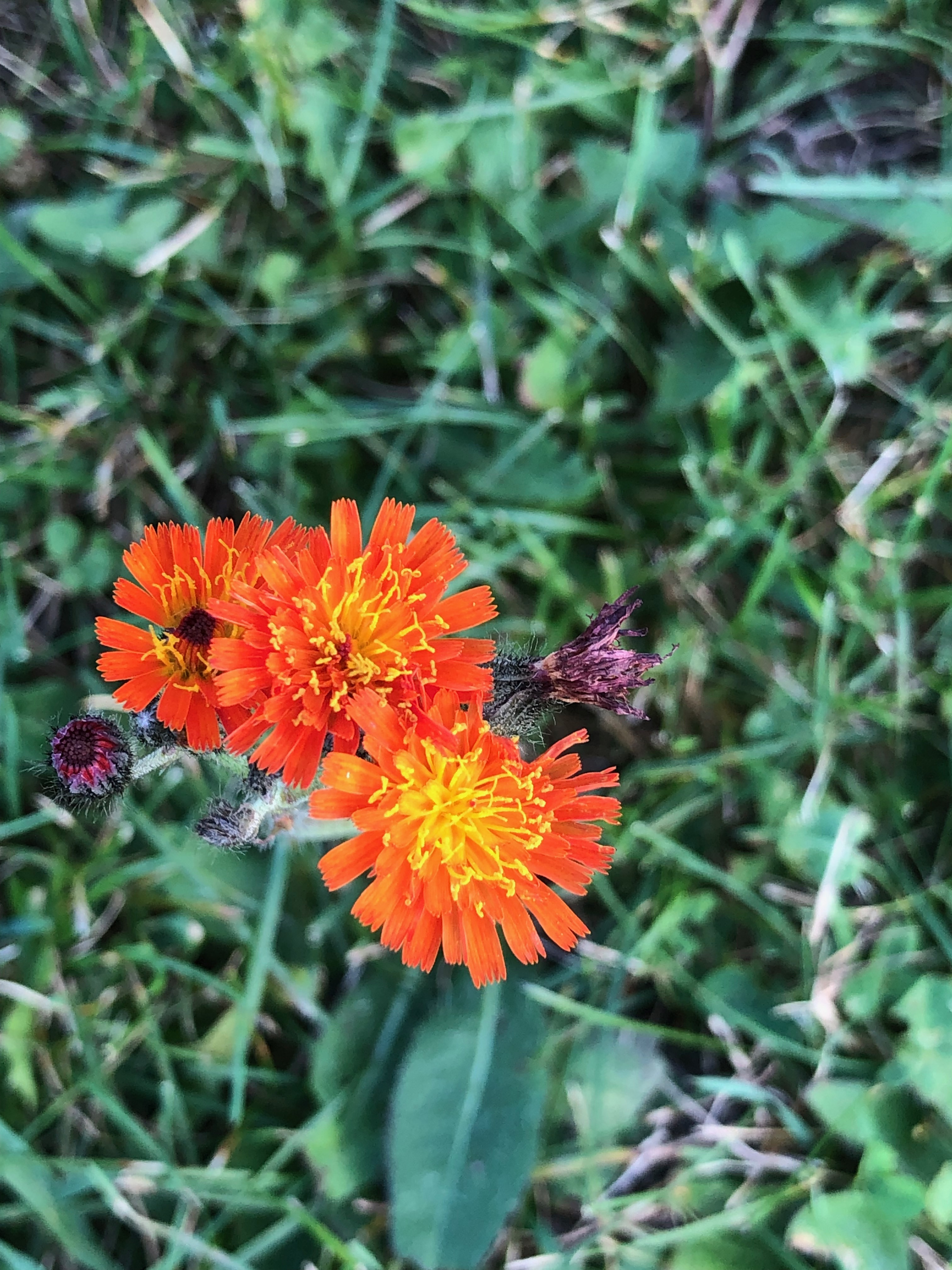
Starting from the well-marked Western Terminus, armed with the IAT Atlas section map I’d purchased, I followed the yellow blazes on the steep ascent through the Wisconsin side of Interstate Park. The trailhead includes a selfie station with a view over the river gorge. I took advantage of the spot to get a few photos. The trail skirts the spectacular bluffs and gorge along the St. Croix River. I soaked in the afternoon sun, enjoying the fact I was already getting too warm for the layers I’d worn. Along the way the potholes created by rushing water over thousands of years stood out as interesting geological features. As I hiked, I came upon climbers who were returning from a route on the bluff face.

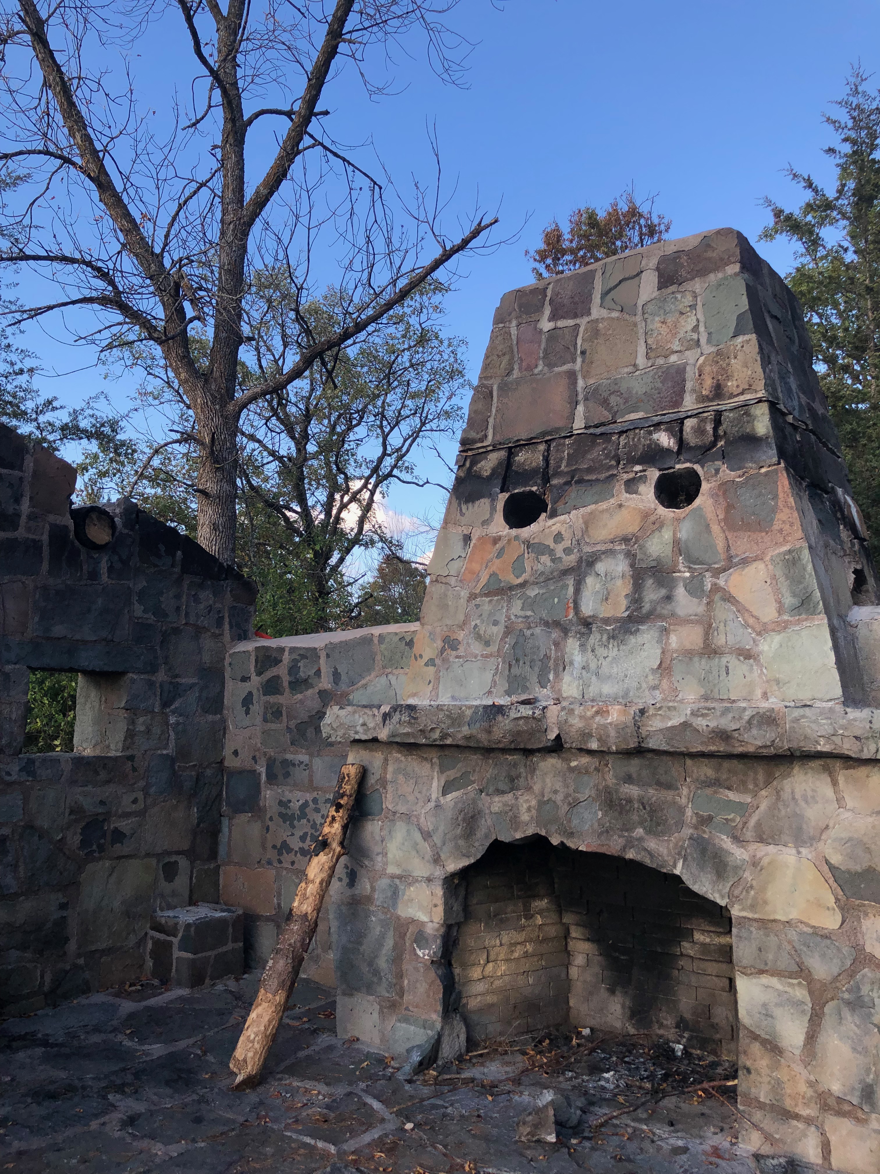

The trail continues climbing for about a half mile before it levels out. The section includes the remains of a shelter which appears to have caught fire. The walls and fireplace are beautifully laid stone, reminding me of many of the Works Progress Administration (WPA) and Civilian Conservation Corps (CCC) structures I’ve seen throughout Minnesota State Parks. I’d have to do research at a later point to find out more about it.
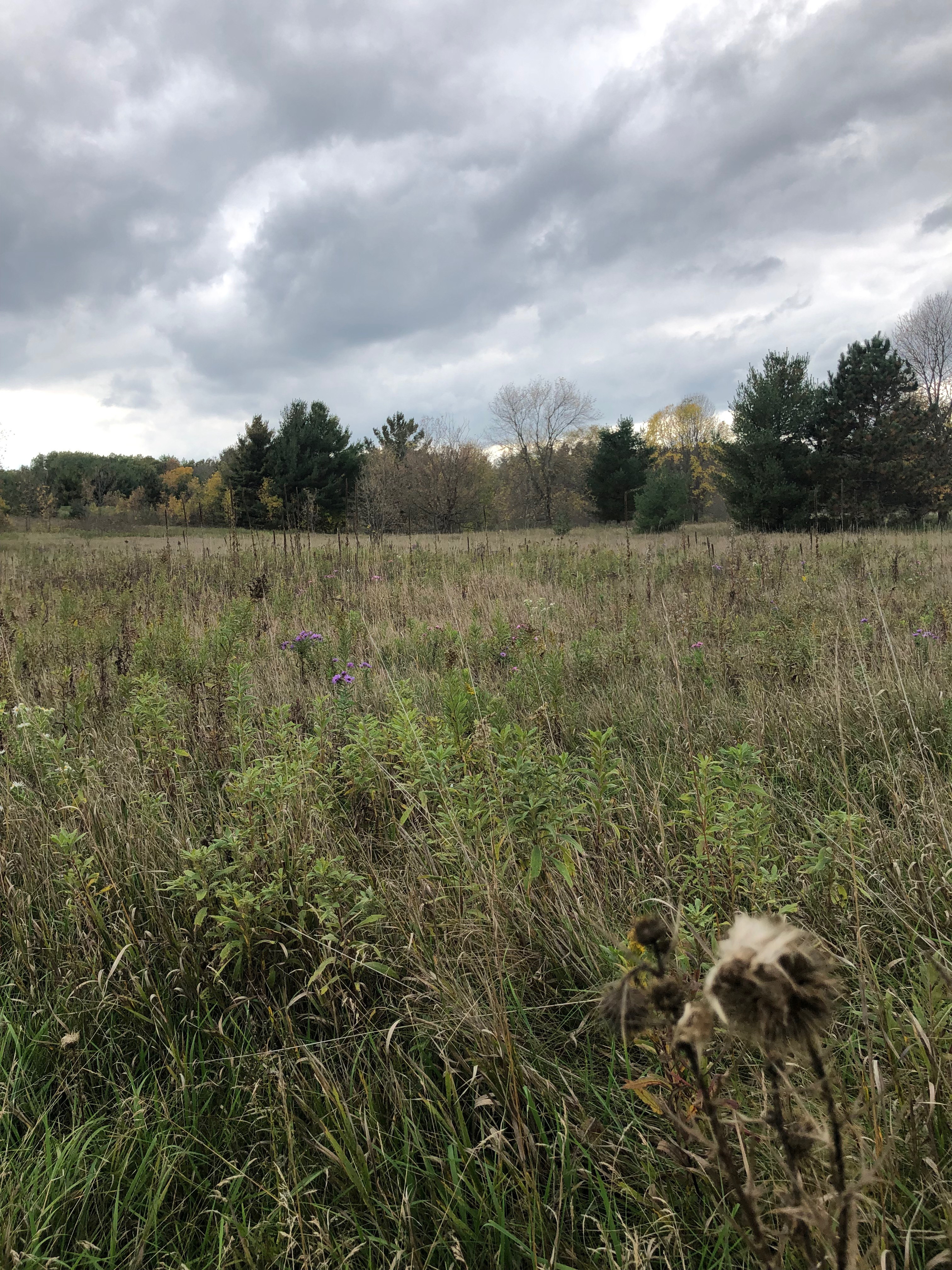
As the trail levels out, it winds through beautiful forest, which gives way to an open prairie restoration near the park entrance. From the park entrance the IAT takes a turn and heads north along State Highway 35 into the town of St. Croix Falls. The first of many sections of road walking on the trail. Just past State Highway 8 the trail enters the Hospital Esker Segment. The trailhead of this segment is easy to find with its large sign and parking area. Along the road I’d made sure to pick up trash I found. Much like many other trails, the places I found trash were closest to trailheads and the road, while the trails themselves are relatively free of anything to pick up.


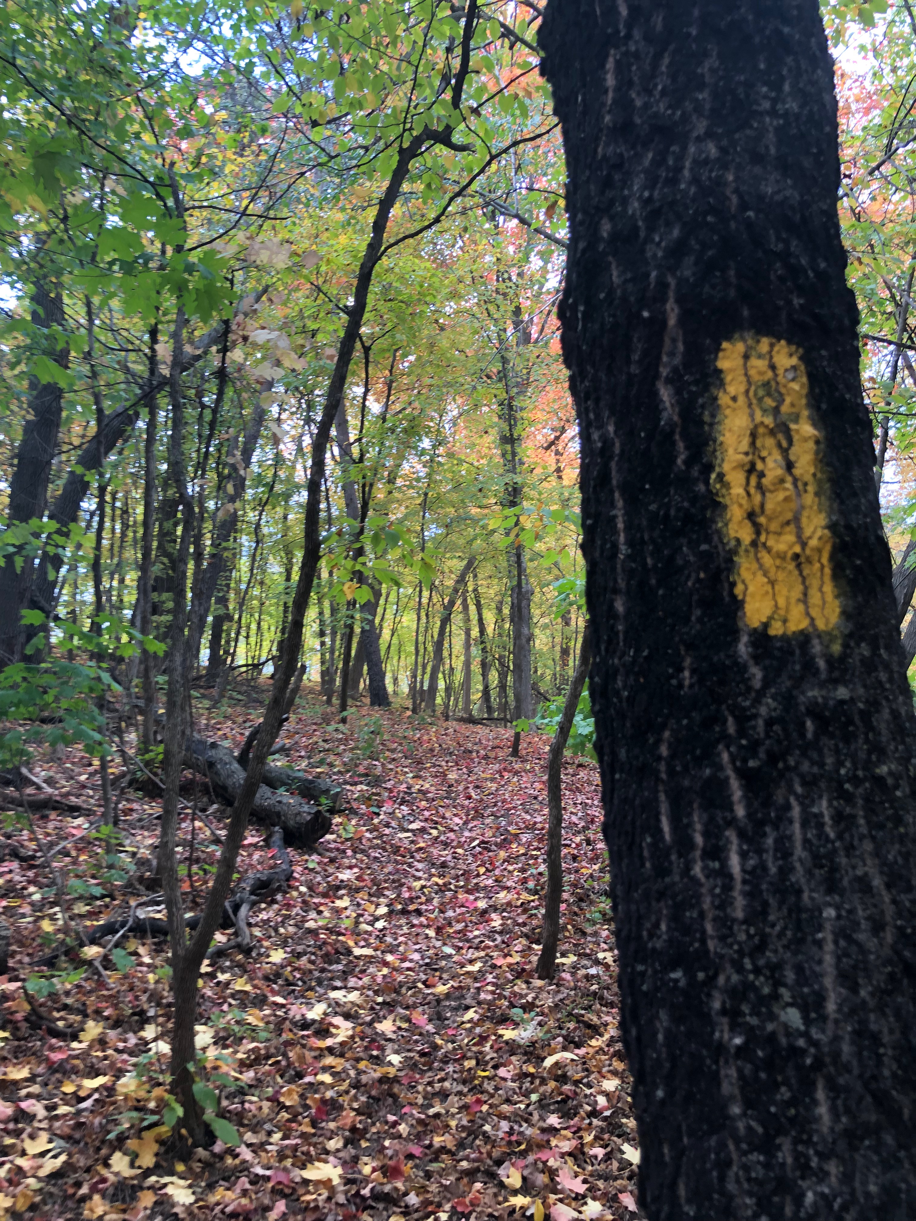
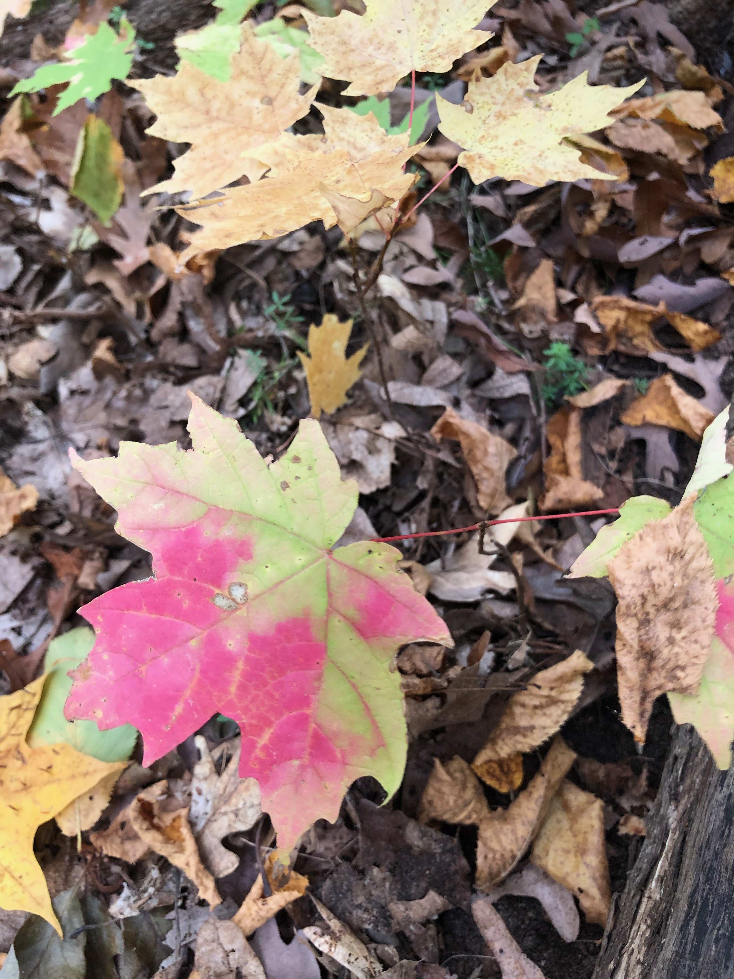

I wasn’t surprised as the trail rose quickly in the Hospital Esker Segment. Eskers are fascinating geological features reminiscent of raised railroad beds. They often provide excellent views of the surrounding area. Following the trail covered with brightly colored fall leaves, I slowed down to take in the light coming through the trees, the smell of fall in the air. The forest dampened the sound of the road and town nearby, though I could see glimpses of the buildings and river beyond through the trees. Nearing the north end of this segment the Saint Croix Regional Medical Center came into view. The trail quickly descends to the parking lot of the facility.
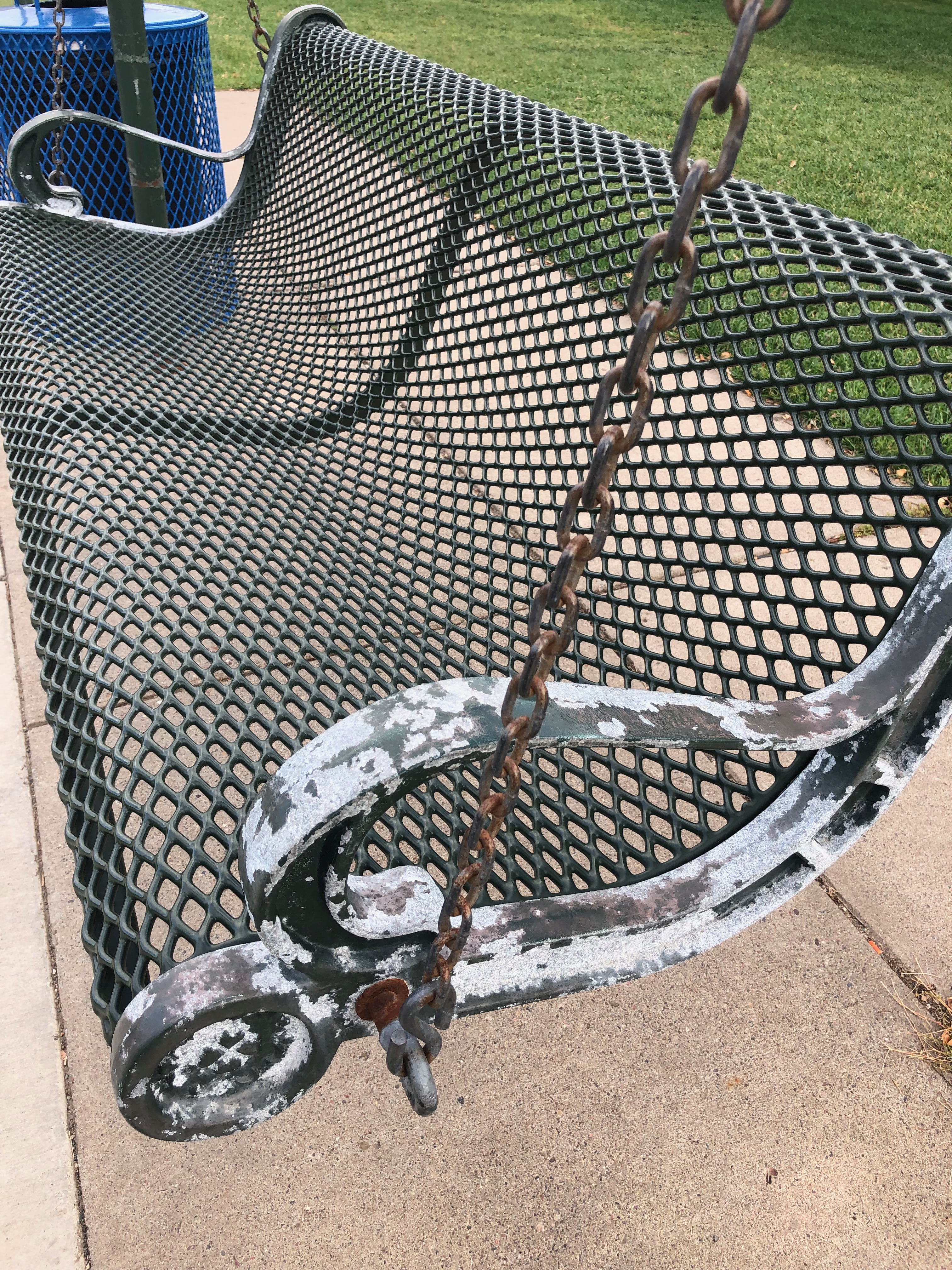
It took me a few moments to locate my next direction of travel. I consulted the map, crossed the road and made my way into a residential area. Once again I climbed up, this time on the steep road, following it toward what appeared to be another park. As I neared the top of this climb I discovered the trail makes its way through the school district property passing several school buildings and winding through more wooded areas. I stopped briefly to rest on a swing near the entrance to the elementary school. The swing creaked and groaned as I swung back and forth.

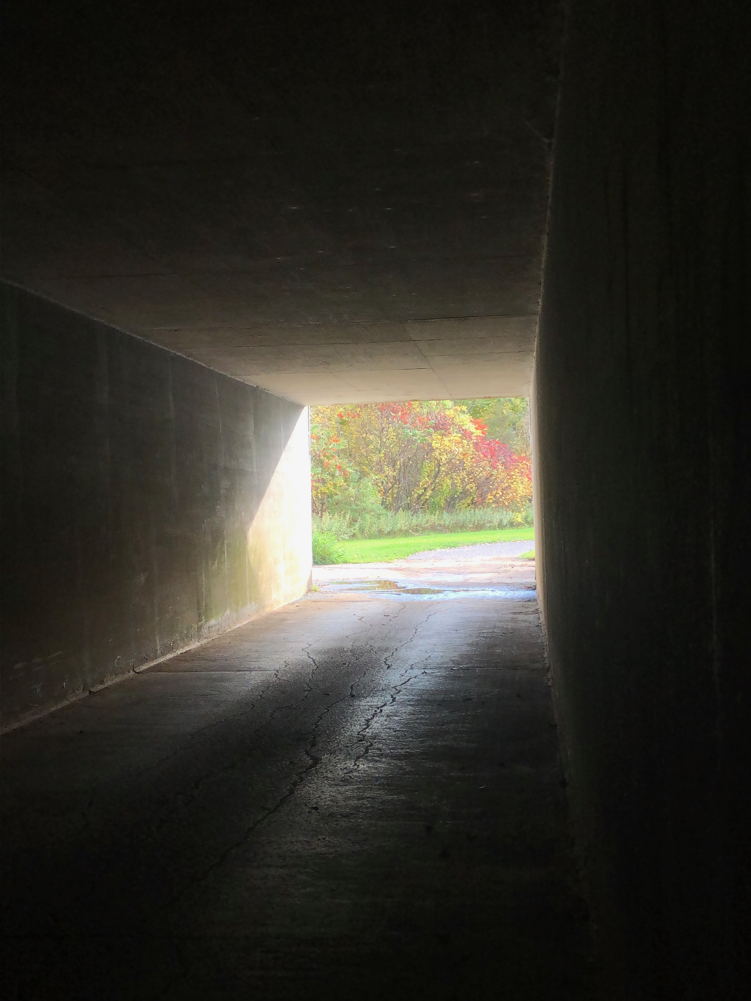


Another section of wooded trail appeared. I followed it for a bit longer before consulting my map again. I’d covered just over three miles. The evening was coming and I needed to find my way back to Interstate Park. Turning onto South Blanding Woods Road I made my way toward what I believed would be a way back across Highway 8. Instead, I happened on the Gandy Dancer Trail, a bike trail which runs through the area. Following it I came to an underpass and then on to where the trail crosses South Vincent Street near the Dalles House.
Re-entering the park, I retraced my path to the parking lot near the Western Terminus. At the parking lot I picked up more trash, weighed what I’d collected and located a trash bin to dump it. Though tired, I enjoyed one last short stroll near where I’d started before heading home.
While I’m impressed with the well marked wooded segments of the IAT, the road walks were exactly what I expected – just plain hard. It occurred to me I’d approached this trail with an open mind and a sense of discovery. Not knowing what each section would bring, I remained curious. I’d sought to find something of interest each section of the way.
I’m looking forward to exploring the IAT more, as time allows. I’m especially curious about longer sections and camping opportunities. With more than 1,000 overall miles, the IAT has plenty to offer in exploration. If you’ve hiked segments and have favorites, please comment below.
Next Post Preview: What better way to celebrate my mom’s birthday than a hike at my favorite state park with new friends. After all, mom once said “Just go. You’ll find new friends you haven’t met yet.” She was right.
GEAR: Merrell Women’s Siren 3 Mid Waterproof, REI Co-op XeroDry GTX Jacket, Marmot Kompressor Pack, SPOT GEN3 Satellite GPS Messenger, Dueter Dirtbag, Kula Cloth, Leki Women’s Micro Vario Cor-Tec TA trekking poles. Want to know more about my gear selections? Head on over to Gear & Gadgets or check out my posts titled “Gear in Review”.

Support the work of
Ruth’s Blue Marble
If you like what you’ve found here, please take a minute and share with someone you think will enjoy it too. Your shares help me know what content is valuable and help support the organizations and companies I mention or link to in my posts.
Make A Donation
Make a one-time donation to support the Ruth’s Blue Marble blog.
Make a monthly donation to support the Ruth’s Blue Marble blog.
Make a yearly donation to support the Ruth’s Blue Marble blog.
Choose an amount ($5 – a virtual coffee; $15 – a virtual lunch; $25 – just because)
Or enter a custom amount that feels right to you.
Your contribution to bring this content to life is appreciated.
Your contribution to bring this content to life is appreciated.
Your contribution to bring this content to life is appreciated.
Copyright Ruth Wikoff-Jones, ruthsbluemarble.com | No Use Permitted Without Prior Permission