

#30 of my 2021 52 Hike Challenge
Trail/Park: Superior Hiking Trail, Section Hike: Highway 45 to Highway 6
This hike took place on the traditional territory of the Anishinabewaki ᐊᓂᔑᓈᐯᐗᑭ. I respect the histories, languages and cultures of these peoples, whose presence continues to enrich our vibrant and changing communities. To learn more about the tribes and these lands, please follow the links provided.

A day of North Shore hiking just for me. It’s something that fills me with anticipation and a teeny bit of trepidation each time I head north in the fall. I know I’m prepared. I’ve hiked so many times on these trails. But there is also the fact that many times it’s a new section of trail. With that comes the sense of adventure and uncertainty. What will this hike teach me? How have I changed and what energy am I bringing with me?
The only way to answer the inevitable questions is to set one foot in front of the other. To trust my body will carry me forward and the obstacles can be overcome. I’d picked this particular section of trail because it was the last of the Superior Hiking Trail on the old purple map left I’d not completed. John would drop me off and a few hours later meet me at the other end. It’s been a long time in the making, but he knows how much I appreciate being able to hike longer distances without having to worry about getting back to the car. And he’s gotten both good at finding trail crossings as well as being patient if I’m not right there at my estimated arrival time.

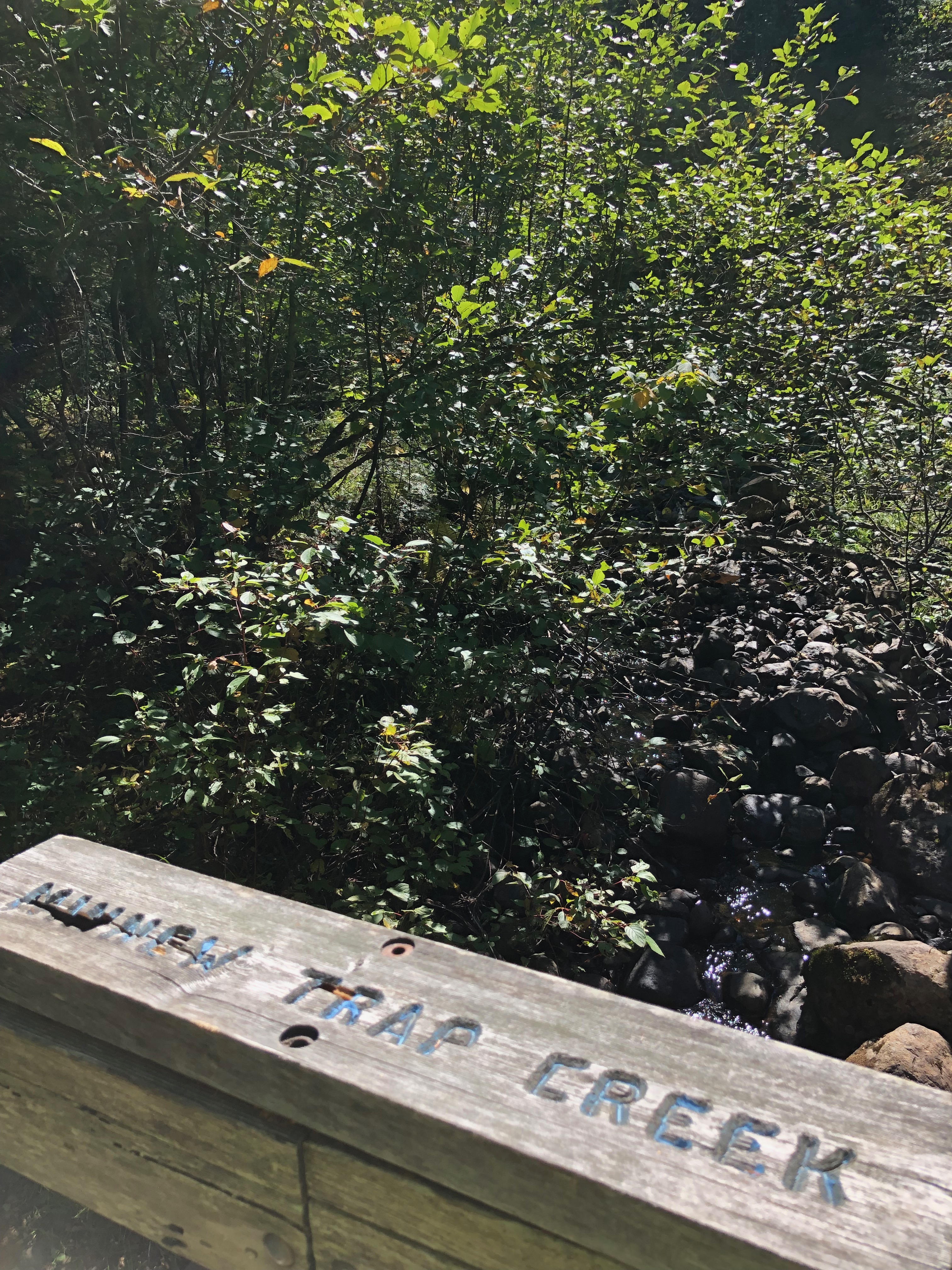
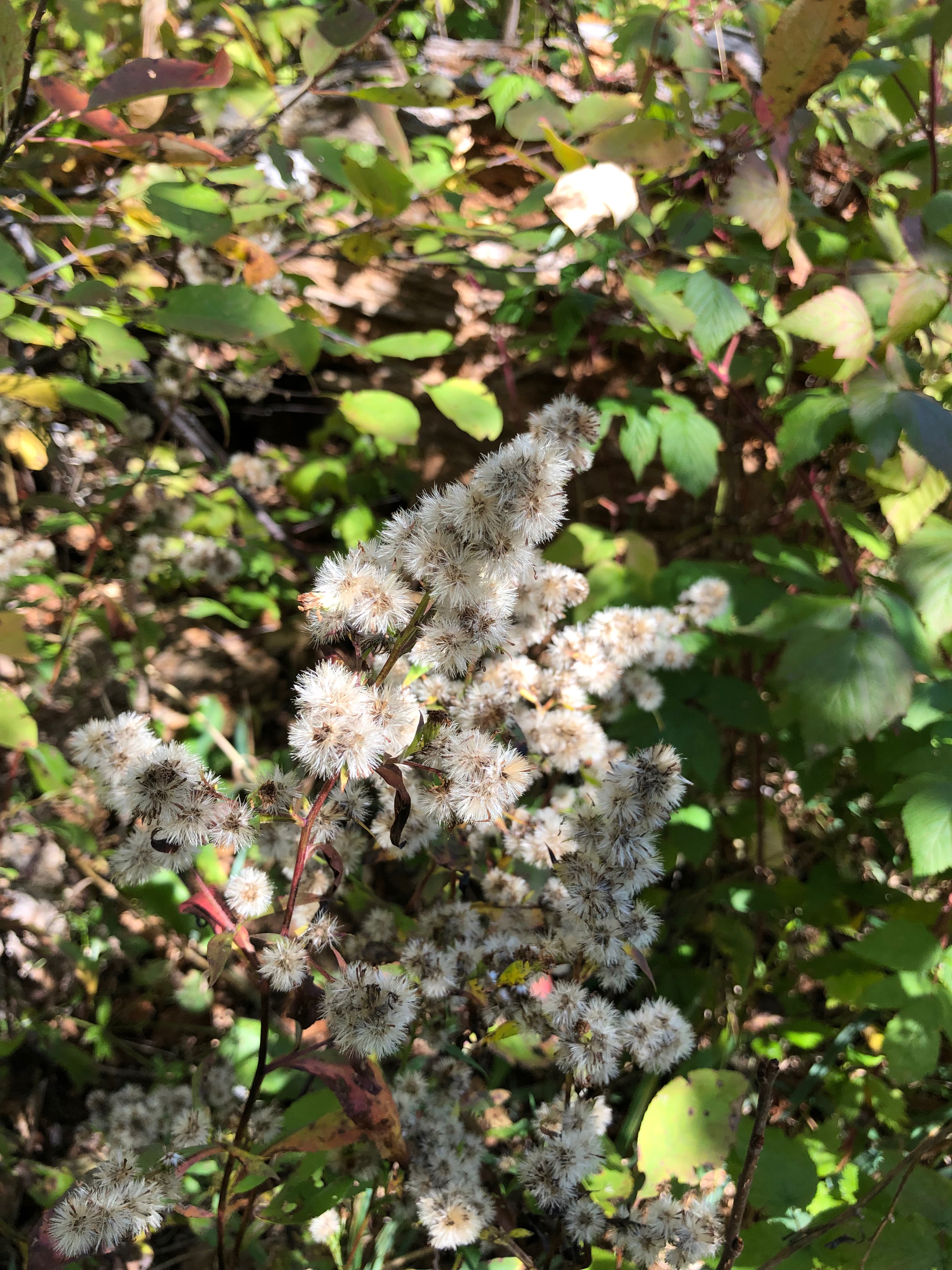
A day of hiking all to my self is a luxury I haven’t been able to find as often as I’d like this year so with nine miles ahead of me it was time to get moving. The first part of the trail looked to be a pretty hefty elevation of 300 feet or so in the first mile. From the parking lot at the top of the Cascade River section, the trail climbs out of the river gorge past Minnow Trap Creek and then drops again steeply. As I hiked, the drought conditions were apparent, just like the previous two days of hiking. Stunted and crispy, dry vegetation was everywhere. While the dry ground made hiking easier in this area known by hikers for its swaths of mud, I also was saddened to see how much the lack of water has impacted the landscape.

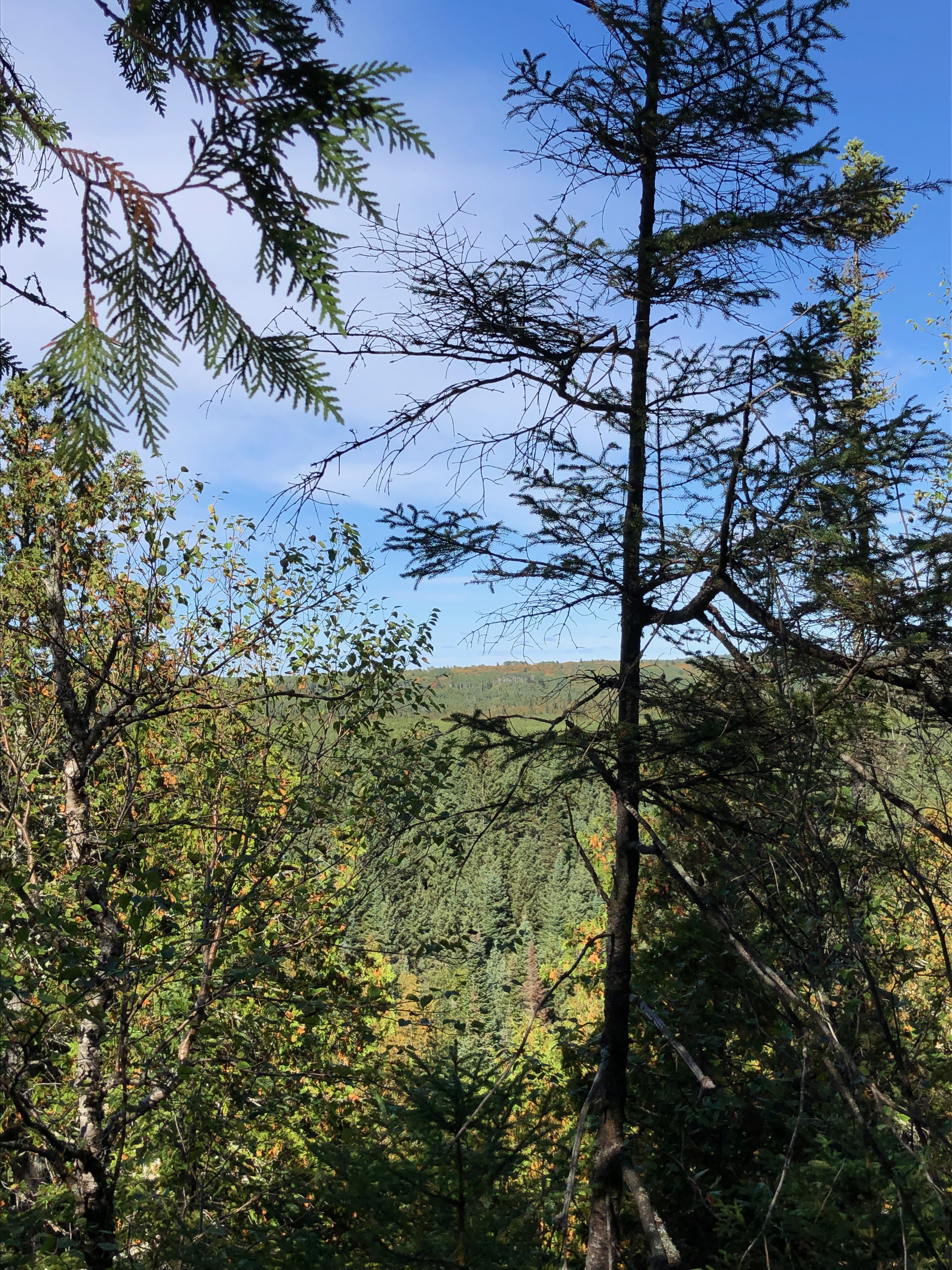
Where the trail leveled off for a bit I was treated to views of Eagle Mountain in the distance. A favorite hike of mine, seeing the highest point in Minnesota from a distance brought back memories of hiking in New Mexico and marveling as we realized how far our bodies had carried us from previous days. The fall colors were starting and the peak of Eagle Mountain was bathed in orange and green.
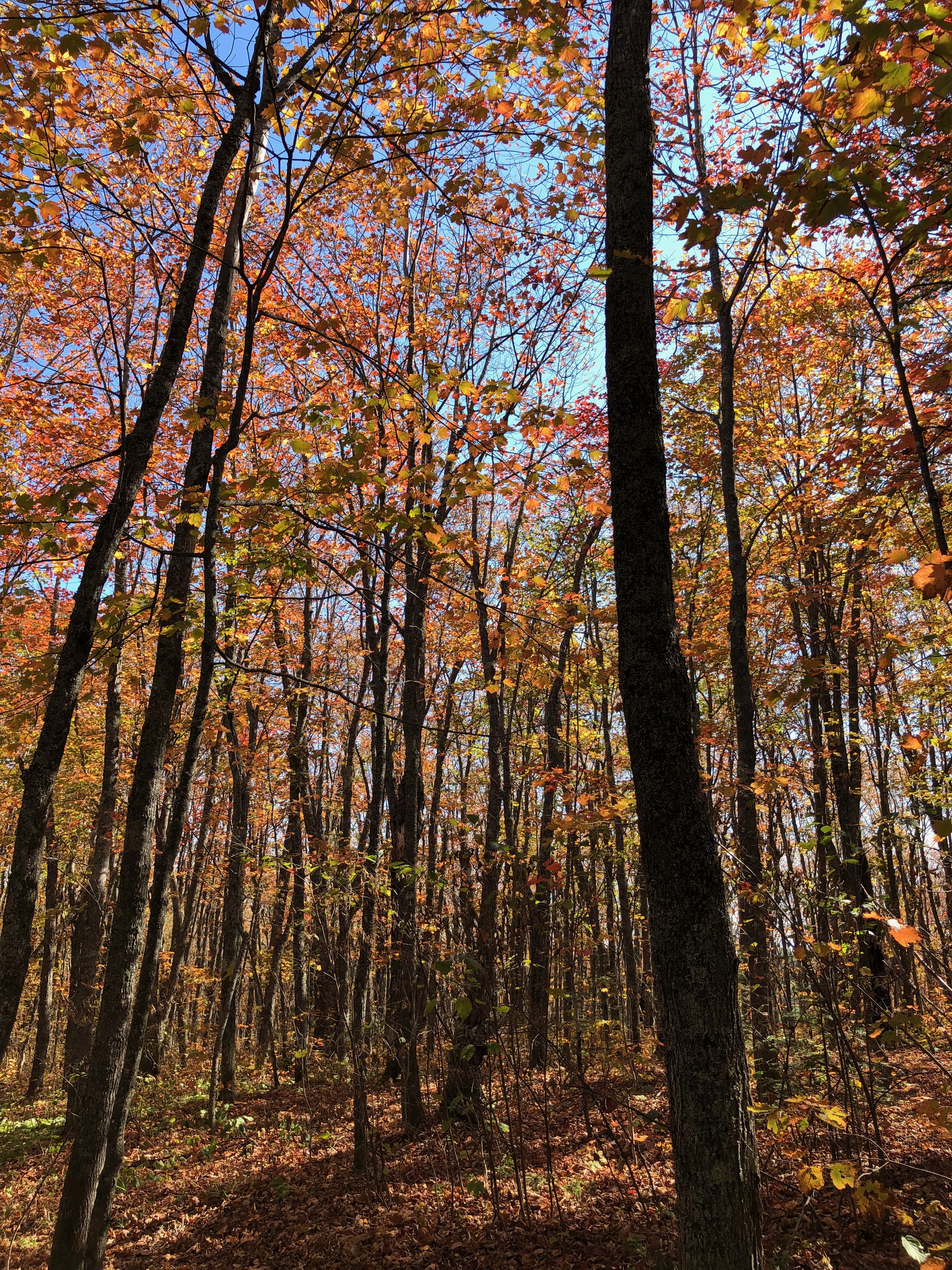
Once again the trail started a steady climb toward Sundling Creek Ridge between stands of aspen, pine and maple. In many places the maples had already begun dropping their leaves, which were more brown then the orange or red of a year of ample rain. The midday sun suffused the shaded areas in orange and yellows my camera was ineffective at capturing fully. The day before when I’d reconnected with Melissa, she’d commented how few birds she’d seen on trail. I noticed the unusual quiet as I hiked along.
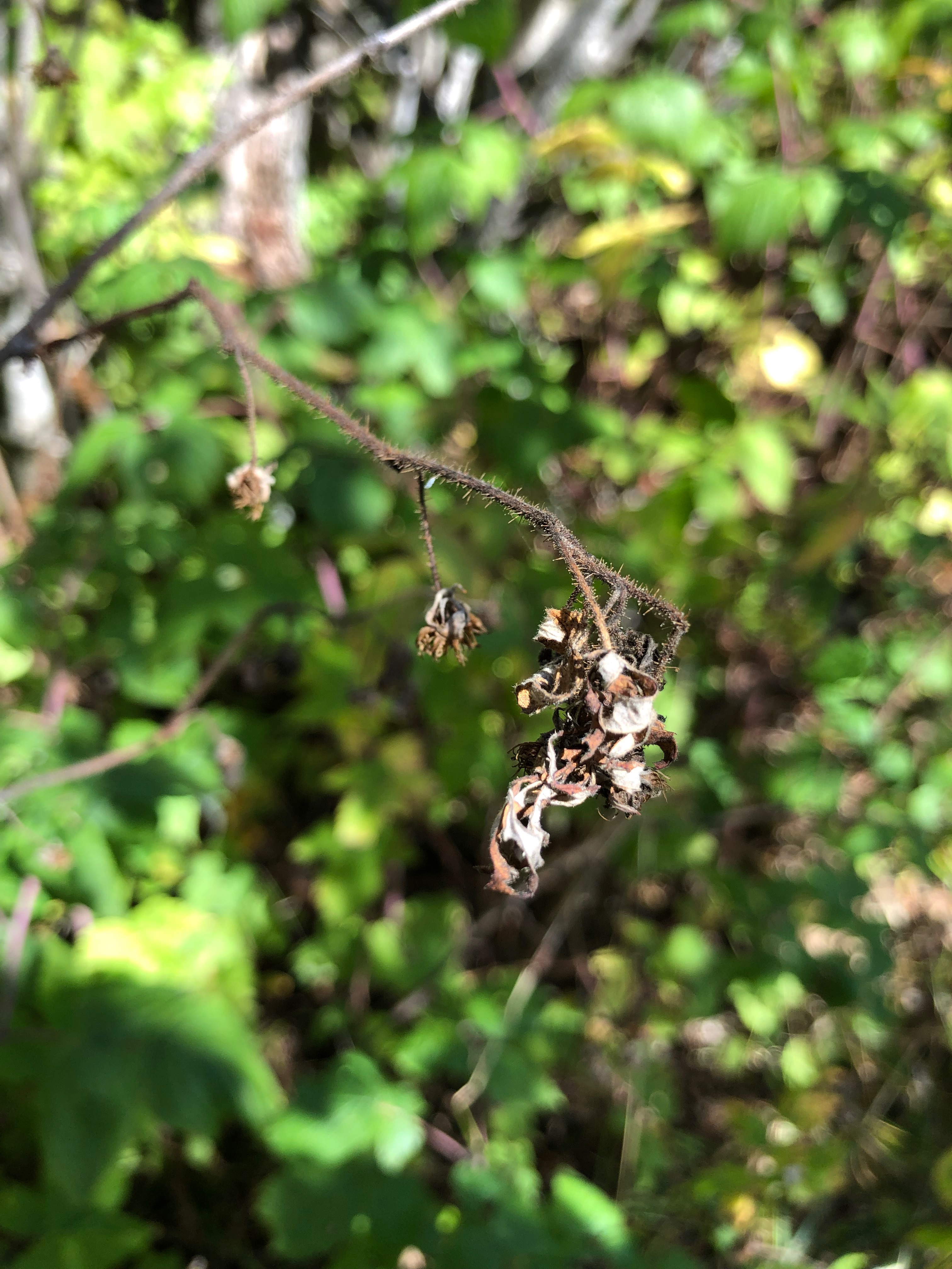
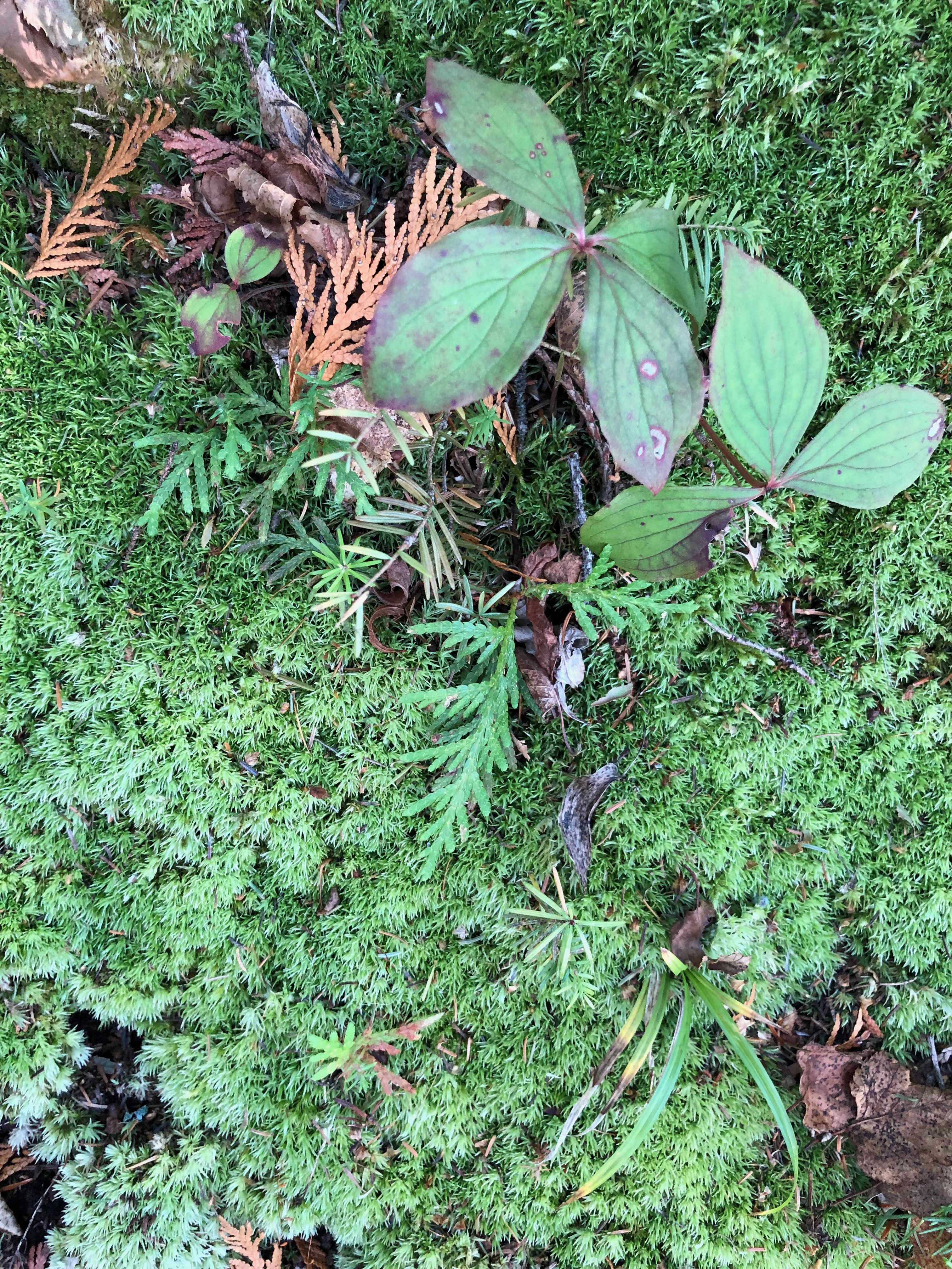
I took note of the ferns, brown and crispy dry. The stunted growth of the thimbleberry plants which had not produced berries. The thought crossed my mind I’d be surprised to find a bear here. It would be more likely to find them nearer the shore of the lake where a bit more moisture was available along with inattentive campers and the garbage of folks who live near Highway 61. It was also interesting to note the number of boardwalks placed over what would have been creeks or muddy spots with enough rain.
Reaching the intersection with Forest Road 158, I was just 30 minutes and three miles from my meeting time with John. I knew I’d need to make a hard push. I didn’t have cell service so letting him know I’d be late wasn’t an option. Again the trail climbed up from the road crossing and leveled off near Bally Creek Pond. I’d hoped to check out one of the two campsites, but thought the better of taking the spur trails as it would make me even later. The trail quickly turned to a rocky, root filled jumble past the campsites, forcing me to slow my pace a bit.
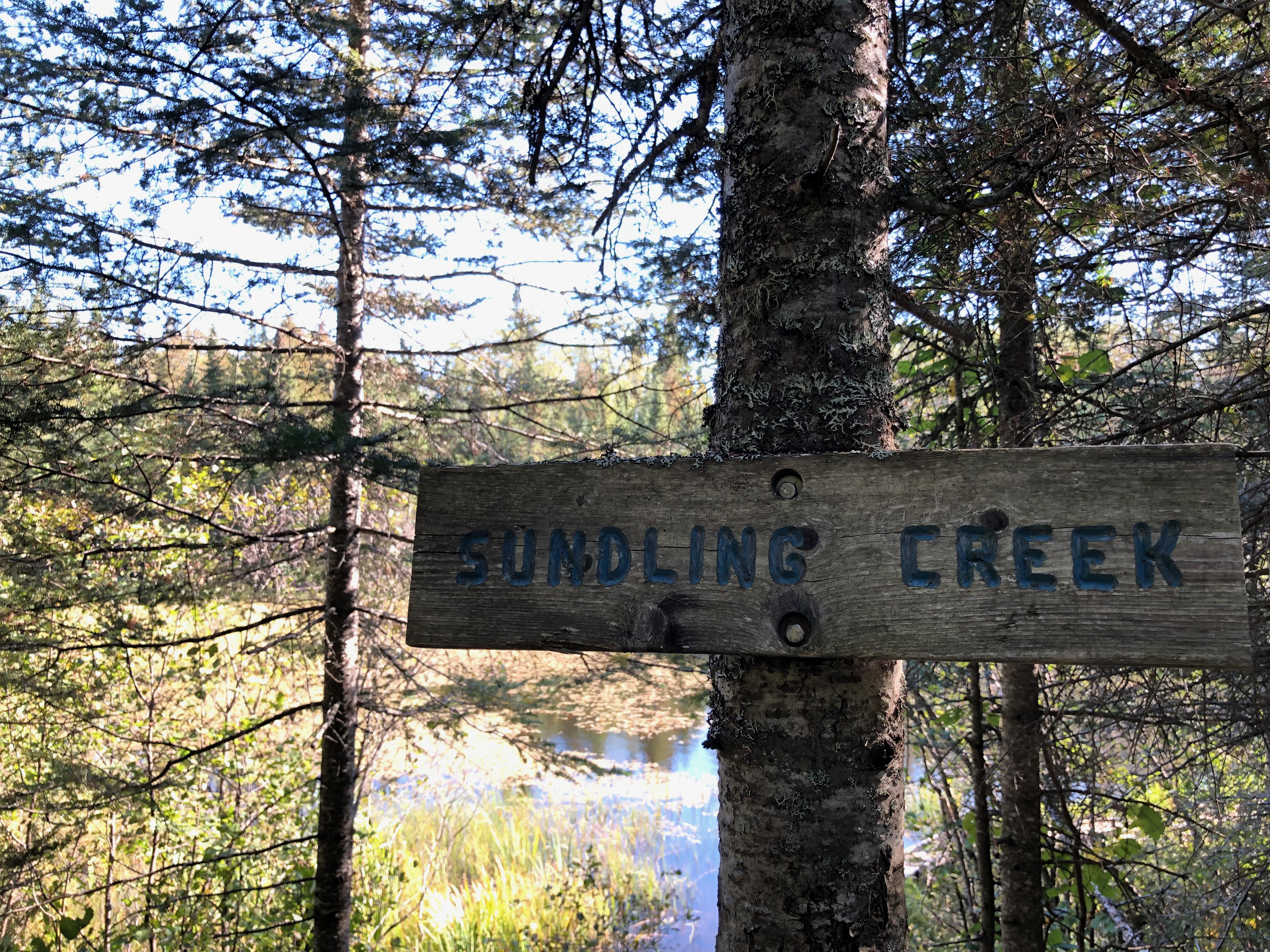
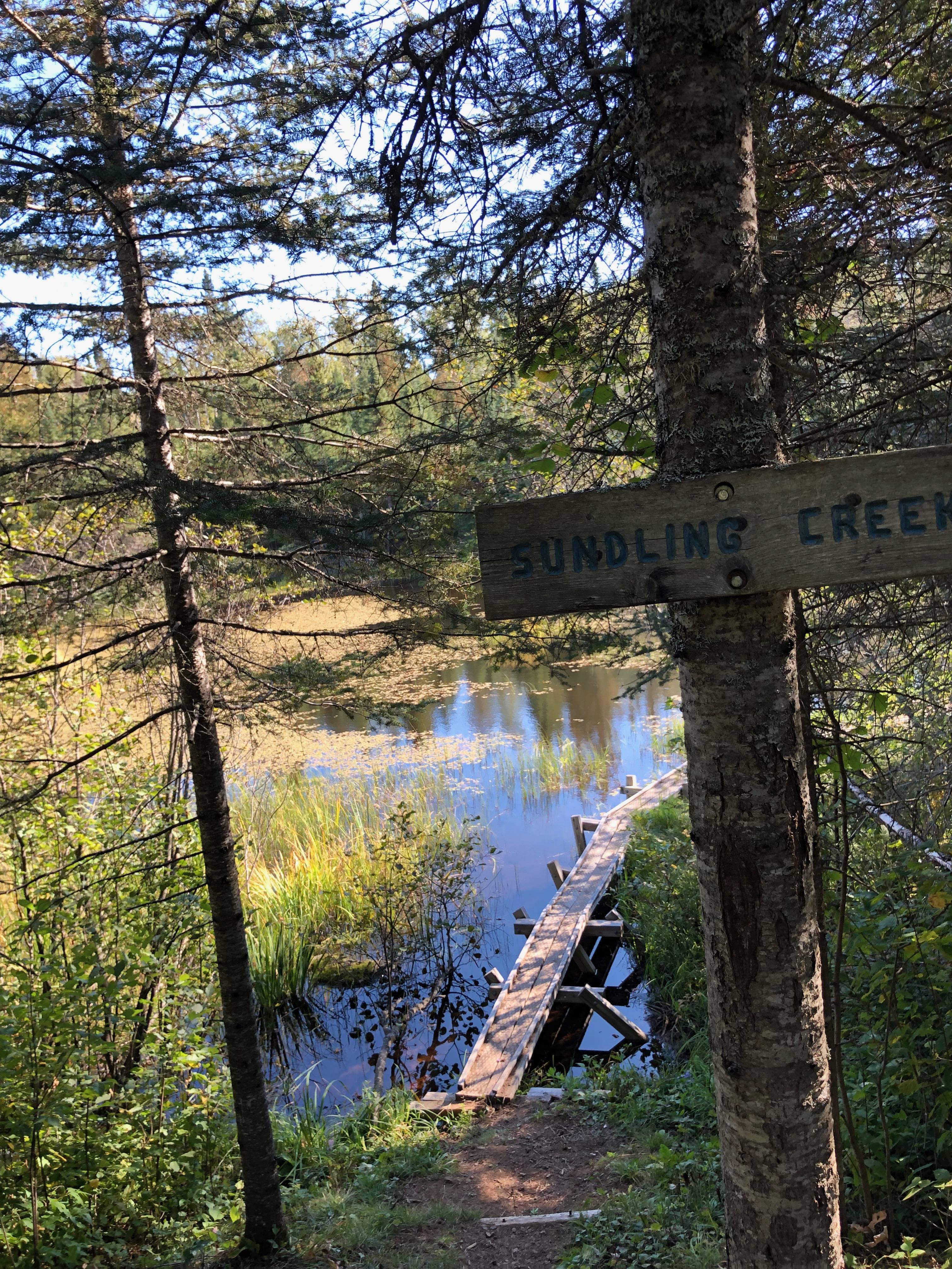


The next thing I knew, I came upon a bend in the trail which would take me on a narrow boardwalk over Sundling Creek. It was such a beautiful spot. I found myself slowing again to be sure to appreciate it before powering on. A few minutes later I came upon a man who’d been hiking ahead of me, sporting an Arc’teryx Aerios 45 backpack I’d only seen in photos, but knew to be an ultralight. Passing him, I noted it was the first time I’d seen the pack in person and asked if he liked it. He introduced himself as Phillip and offered to show me all its features. I politely declined, noting I had someone waiting ahead for me. At that same moment I noticed I had cell service so I quickly texted John about my delay, hoping he’d receive the message.
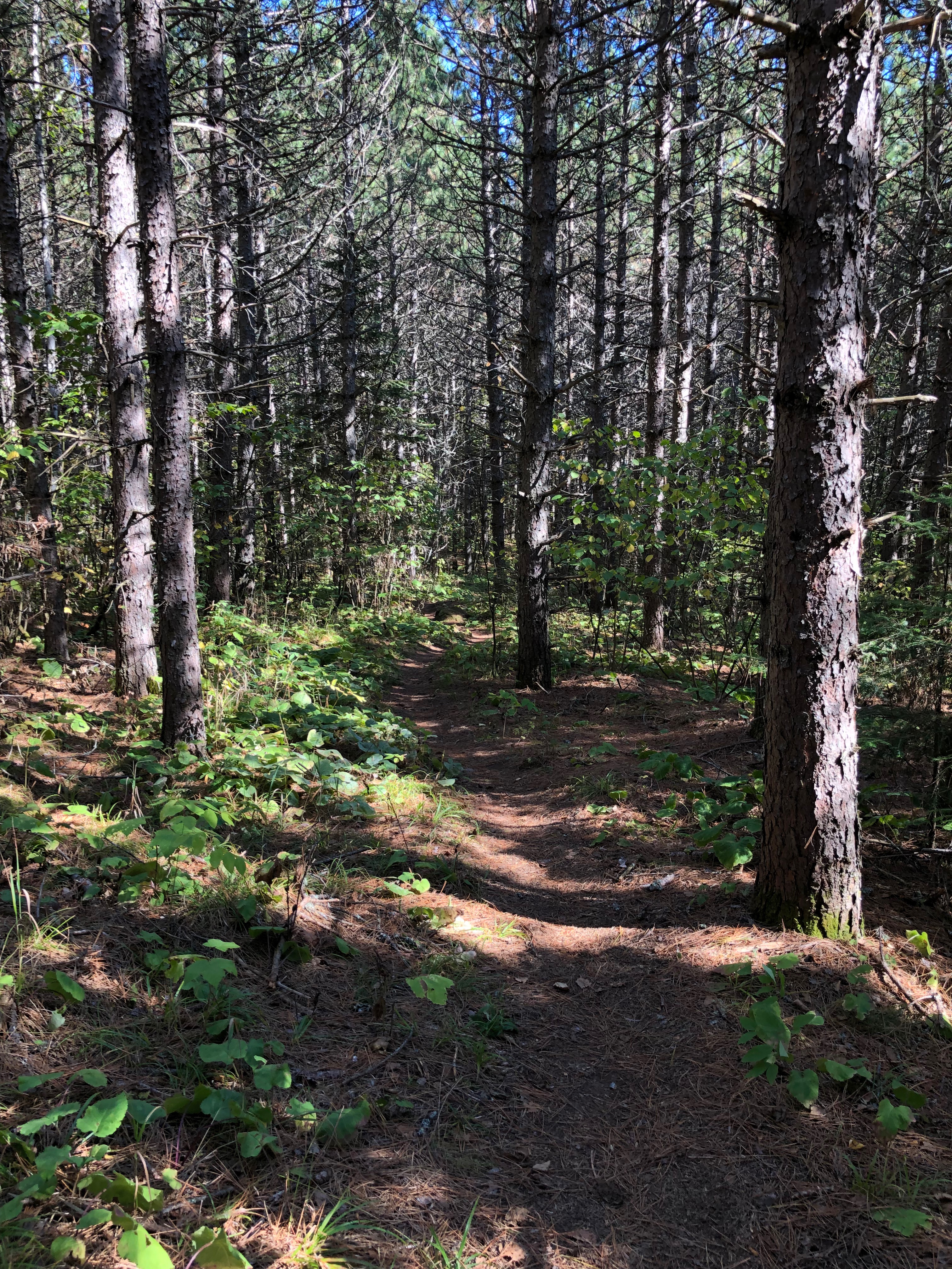

I explained I needed to keep moving but I’d welcome company on my last bit of hike. Taking the lead, I chatted with Phillip about his pack, his wife who’d pick him up the following day north of Grand Marais, and his next planned adventure in the southwest U.S. We moved along at a pretty good clip through areas that had been logged and were now slowly growing back. In places the trail was a bit of a challenge to find if you aren’t familiar with the blue blazes, cairns and SHT signs as well as the worn path on the bedrock.
Slightly over an hour later than I’d planned, we came to the intersection with my turn off which would take me a few hundred yards to the place I knew John would be waiting. I said a brief goodby to Phillip, wishing him a safe passage to his next campsite. Just a few minutes later, I reached the parking area happy and tired where John was waiting with the car, and the promise of a hearty meal just down the road at the Cascade Lodge Restaurant.
Next Post Preview: An eagerly anticipated rainstorm makes an already challenging section of the Superior Hiking Trail a lesson in patience and persistence as well as knowing when it’s time to call it quits.
GEAR: Merrell Women’s Siren 3 Mid Waterproof, REI Co-op XeroDry GTX Jacket, Marmot Kompressor Pack, SPOT GEN3 Satellite GPS Messenger, Dueter Dirtbag, Kula Cloth, Leki Women’s Micro Vario Cor-Tec TA trekking poles. Want to know more about my gear selections? Head on over to Gear & Gadgets or check out my posts titled “Gear in Review”.

Support the work of
Ruth’s Blue Marble
If you like what you’ve found here, please take a minute and share with someone you think will enjoy it too. Your shares help me know what content is valuable and help support the organizations and companies I mention or link to in my posts.
Copyright Ruth Wikoff-Jones, ruthsbluemarble.com | No Use Permitted Without Prior Permission