
One of my favorite things is a good road trip. The open road, my favorite playlist and snacks that make it look like a 9 year old was given $50 to spend in the convenience store. This one came with an audacious goal: hike in 14 Minnesota State Parks in just 7 days. Campsite reservations were made, maps printed.
This trip would be a chance for me to get to know my gear, including two new backpacks, from the perspective of a car camper (gear listed below). I’ll admit that the idea of not putting a pack on my back and walking the entire map was a mind-shift. I’m more used to loading myself up like a turtle and taking my home with me on foot. But more on that later.
GEAR: Columbia Women’s Arcadia II Rain Jacket, Vasque Talus Mid UltraDry Hiking Boots, Granite Gear Blaze 60 Backpack, Marmot Kompressor Pack, ENO Double Nest Hammock/Guardian Bug Net/Profly Rainfly, Paria Thermodown 30 Down Quilt, MSR Pocket Rocket, MSR Dualist Cookware, Slumberjack Trial Tent, REI Co-op Flash Insulated Air Sleeping Pad, Dueter Dirtbag, Kula Cloth, Leki Lhasa Lite AS trekking poles. Want to know more about my gear selections? Head on over to Gear & Gadgets.
Day One: Destination Bear Head Lake State Park
It always seems to take me longer than I’d like to hit the road. Stopping for last minute things like topping off the tank, grabbing a few groceries and ice, and the drive-thru for cash for whatever need might pop up. It was like I’d paid extra for the beautiful day. I cranked up my road trip playlist and was heading north for Bear Head Like State Park where I would hike and spend the night.
Goose Creek Rest Stop
Let’s just say I got distracted along the way. First was the Goose Creek Rest Stop. The rest stop had been under renovation through much of the past two years and is yet to be completed. What IS done is beautiful. It’s a striking design. There is a mural made of layered metal depicting Goose Creek. A water bottle refill station was especially appreciated and I’m sure will get good use.


If you are interested in seeing the rest stop it’s located on the northbound side of Highway I-35 at milepost 154 about 1.5 miles north of Harris, MN (GPS: +45.599212,-92.993286)
Clouquet: Frank Llyod Wright Designed Gas Station


I almost didn’t stop. But the sign caught my eye. FL Wright on a gas station as I was driving through Clouquet. I’ve never been to this part of the state so everything was going to be new. This one caught me completely off guard so I pulled over to Google if there was truly a Frank Lloyd Wright designed gas station here. Who knew? Sure enough there is. So I turned around to try and get a picture or two, trying not to be too touristy.
Superior National Forest, Laurentian Recreation Area (Lookout Mountain Trails)
Geographic Location: north of Virginia, MN (47.57811, -92.54342). There are 3 miles of trail just off the parking lot, including hiking, fitness and mountain biking options of varying difficulty.
Continuing the day’s theme of things to provide me pause and wonder was a very last minute decision to stop at yet another rest area. I nearly missed the exit. I’d seen the sign for the Laurentian Divide and figured why not? Let’s just say, I’ve still got lots to learn. I didn’t really know what the Laurentian Divide was until I made this stop. Located off Highway 169 in Virginia, MN, it’s the point geographically that separates where streams flow north toward the Arctic Ocean or south toward the Atlantic Ocean depending on which side of the Divide you are heading.
I took a short hike (#22hike of my 52 Hike Challenge) around the fitness loop which offers a variety of challenges if a person is inclined to get a full workout. For me keeping ahead of the mosquitos was challenge enough!

Bear Head Lake State Park
My first stop at any state park is always the Park Office or Ranger Station. Even if I’ve got a maps and a plan. Park Rangers are a wealth of information and want you to have a great time. So I stopped in and got the lowdown on where I would find my campsite, wildlife to contend with (thankfully none of the park’s name sakes!) and trail conditions. I then headed to my campsite to set up.
My hope was to use my ENO Hammock system for the whole trip. It’s not always easy to find good hangs at campgrounds while respecting the park guidelines to stay only in impacted areas. I also believe strongly in Leave No Trace* principals so that means not doing a hang over vegetation. When I got to the site, I realized that in order to use my hammock I’d need to use my car as a hang point. I hadn’t ever done this before, but it ended up working just fine. Staking the rain fly was my only challenge as the rock parking area was really compacted. In the end it was a darned good hang and handled rain that night really well.

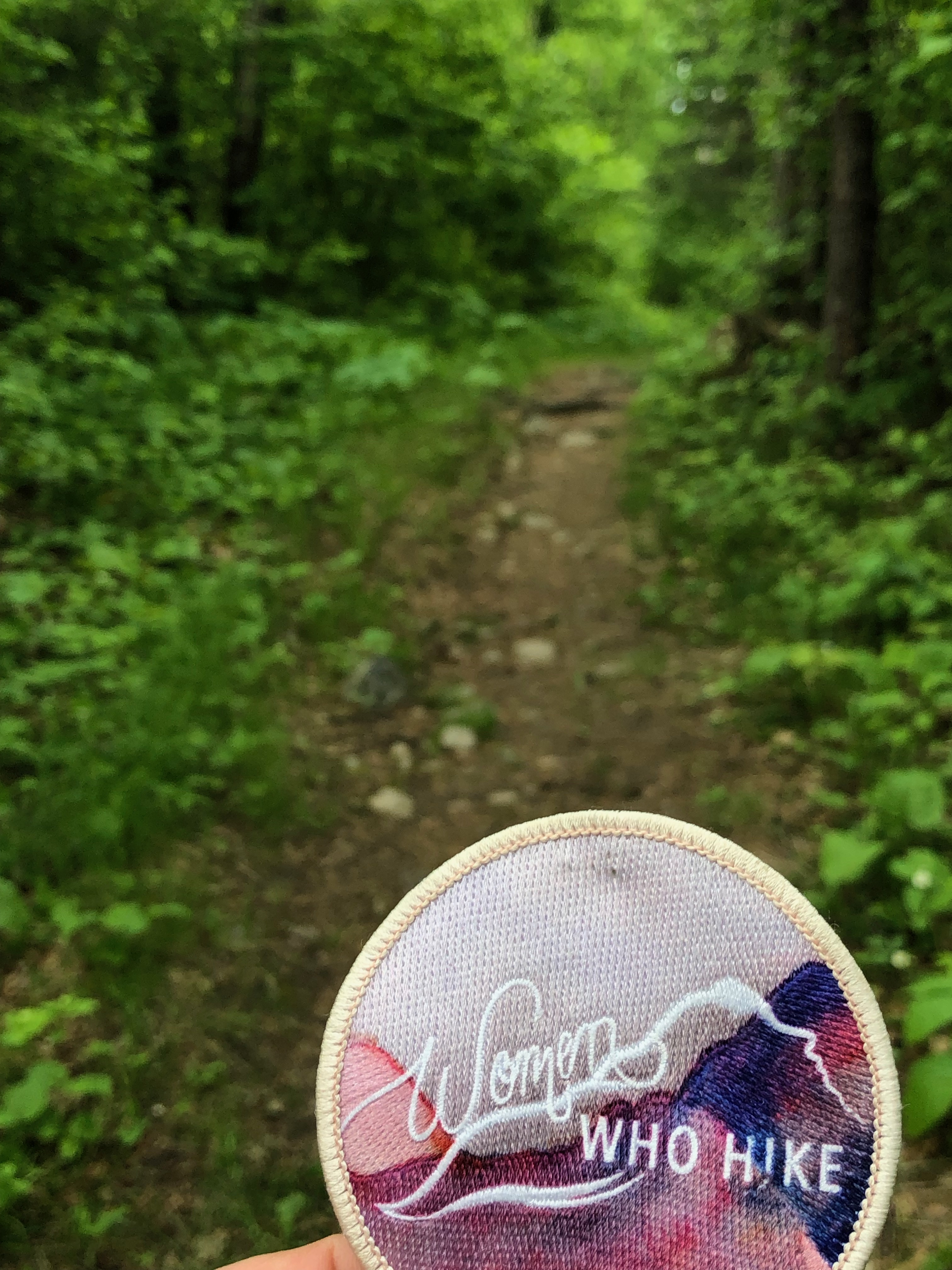
Once I had my campsite settled it was time to head out for my #23hike of my 52 Hike Challenge. I’d picked the Norberg Lake Loop Trail that is about 5 miles long. It goes through white and Norway pine forest, along Norberg and Bear Head lakes and past the campground via the Beach Trail. The trail is one of the park’s most popular and I can see why. It was a beautiful official start to my hiking adventure with the quiet crunch of pine needles underfoot and water views on almost every part of the hike.


Next Post Preview: Next up I head west to Lake Vermillion-Soudan Underground Mine and McCarthy Beach State Parks.
*To find out more about Leave No Trace (LNT) principles,
check out the Leave No Trace Center for Outdoor Ethics.
Copyright Ruth Wikoff-Jones, ruthsbluemarble.com | No Use Permitted Without Prior Permission